


Monsoon in New Mexico
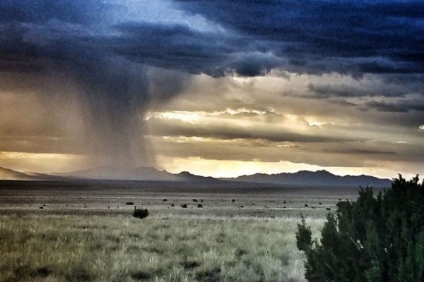
The Southwest monsoon typically runs from late June through September. Heavy rain, flash flooding, lightning and dust storms are threats each summer.
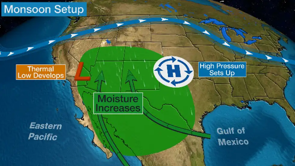
The monsoon is a seasonal change in winds. This seasonal wind shift happens gradually through summer when a thermal low develops due to intense heating of the land, but large bodies of water nearby don't warm as quickly.
Pressure differences between the hotter land and cooler water draw more humid air from the Gulf of California and Eastern Pacific Ocean. This flow from these water bodies is a reversal of the usual flow from land areas to the ocean.
Then, a ridge of high pressure builds over the Rockies or Plains that taps more moisture in the atmosphere from the Gulf of Mexico or Southern Plains.
More frequent thunderstorms result. This fuels the development of showers and thunderstorms in the region, with the coverage of those storms varying day-to-day or week-to-week.
Rain from these storms causes humidity to increase, which triggers more storms. This cycle continues until early fall, when the land finally cools and water temperatures reach peak warmth, which reduces the pressure difference.
Most of northwestern Mexico and the southwestern U.S. receive over half of their annual precipitation from the monsoon.
Rain from thunderstorms reduces the risk of wildfires and brings much needed precipitation to the region for reservoir replenishment and vegetation.
However, these thunderstorms can also generate huge dust storms known as haboobs, flooding rain and prolific lightning.