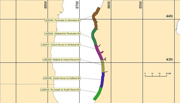
 LMZ847-310800-
 Grand Haven to Whitehall MI-
 356 PM EDT Thu Jul 30 2026


 THROUGH EARLY EVENING
 Southwest winds 10 to 15 knots. Mostly
 sunny. Waves 1 foot or less.

 TONIGHT
 Southwest winds 10 to 15 knots. Partly cloudy. Waves 1 to
 2 feet.

 FRIDAY
 Southwest winds 5 to 15 knots. Mostly cloudy. Waves 1 to
 2 feet.

 FRIDAY NIGHT
 North winds 5 to 10 knots veering northeast 10 to
 15 knots in the late evening and overnight. Rain showers likely and
 a slight chance of thunderstorms. Waves 1 foot or less.

 SATURDAY
 Northeast winds 15 to 20 knots. Rain showers. Waves
 around 1 foot.

 SATURDAY NIGHT
 Northeast winds 15 to 20 knots. Mostly cloudy.
 Waves 1 to 2 feet.

 SUNDAY
 North winds 15 to 20 knots increasing to 30 knots early in
 the afternoon. Partly sunny. Waves 1 to 3 feet building to 3 to
 5 feet in the late morning and afternoon.

 MONDAY
 Northeast winds 10 to 15 knots backing northwest early in
 the afternoon. Sunny. Waves 1 foot or less.

 TUESDAY
 Southeast winds 10 to 15 knots veering southwest early in
 the afternoon. Sunny. Waves 1 foot or less.

 $$
|


